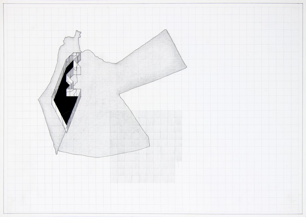
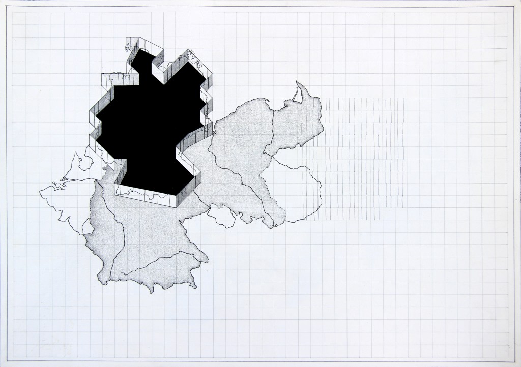
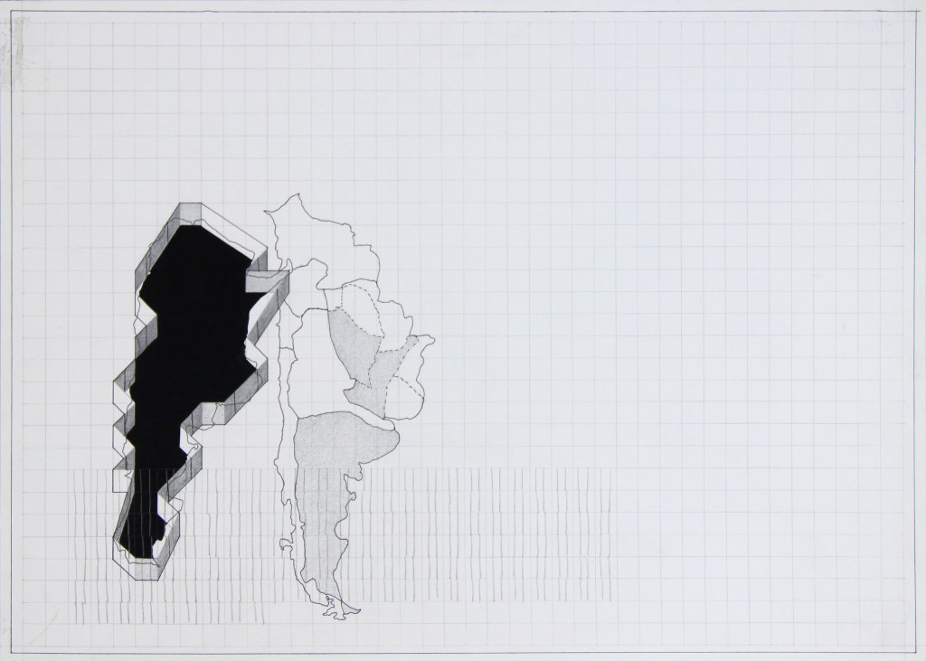
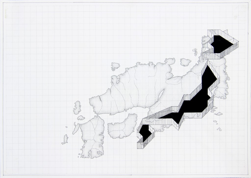
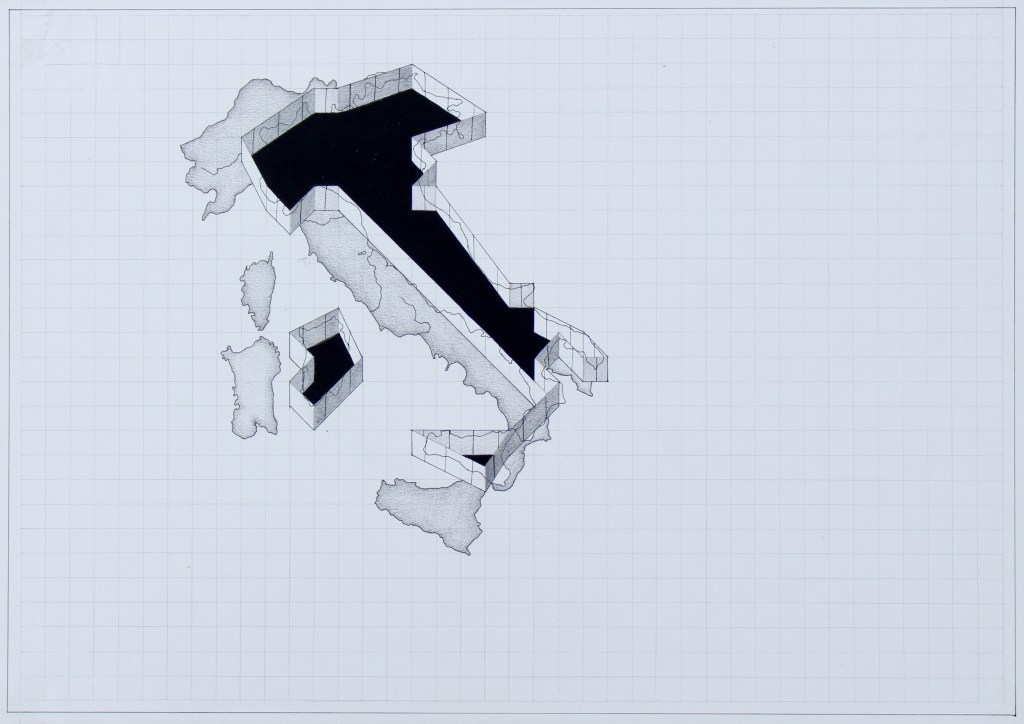
The following drawings are informed and inspired by both cartographic and satellite maps. It is an attempt to study maps of various countries to understand how they have been transformed, manipulated, and represented through technological evolution. These two types of maps belong to different time periods, a distinction that was important for me to emphasize border conflicts during wars and after the invention of satellite imaging. To represent the number of satellites, I referred to each country’s satellite map alongside its cartographic map to observe the differences between them. By juxtaposing these maps, I tried to trace how borders shift and how each country redefines its territories through mapping. While working on this series, I came to understand the notion of borders-how they remain abstract until they are defined, measured, and recorded. In this sense, maps become a form of documentation of reality.